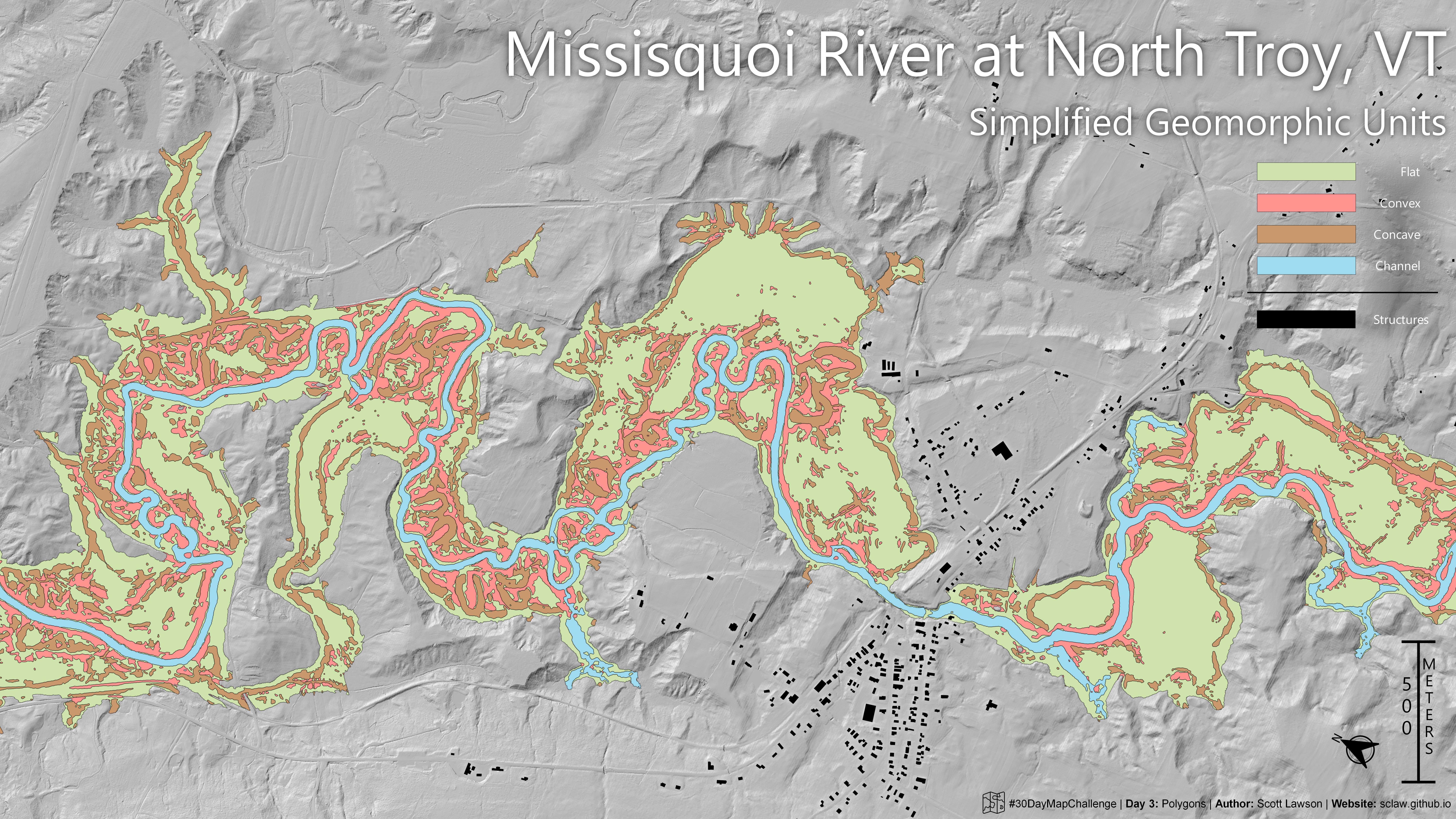
Day 3: Polygons | #30DayMapChallenge
Geomorphons are a computer vision approach to identifying landform-scale features in topographic data. I like to think of the geomorphon as a simplified geomorphic unit, and you can see that in this map. Paleochannels, flood chutes, and meander cutoffs all pop out to me in this map near North Troy, VT. I made this geomorphon layer using all whiteboxtools (WBT). WBT has been a recent addition to my toolset, but I’ve been pleasantly surprised by the wide array of algorithms @John Lindsay has implemented.
Whitebox Tools: https://www.whiteboxgeo.com/
VT LiDAR program: https://maps.vcgi.vermont.gov/lidarfinder/
30DayMapChallenge: https://30daymapchallenge.com/
