Day 7: Navigation | #30DayMapChallenge
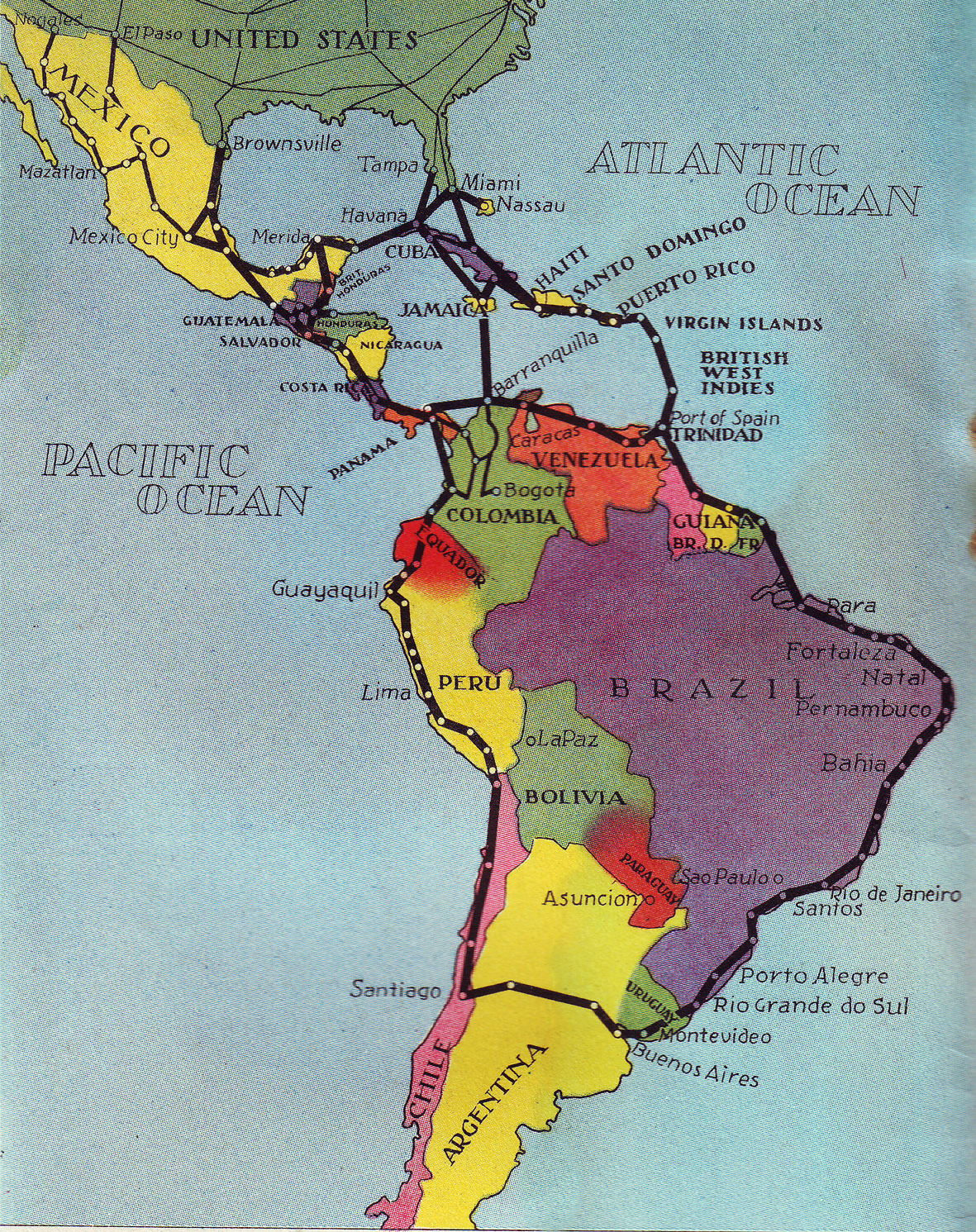
Today I took inspiration from another one of my favorite antique maps: A 1936 map of Pan Am flight routes in South America. The map represents such a fascinating period of aviation history and a time when navigating and traveling were markedly different than today. It would have been fun to just recreate the map, but I chose to go a more personal route. After graduating college, I did some backpacking around South America. The map below shows most of the places I visited during that time.
Funny enough, I liked the antique map before my map-loving days. Instead, I found it in my seaplane loving days. I was obsessed with the Pan Am clipper ships and saved this cool route map only to discover years later what a good map it was in its own right. I’ve also wanted to document those South America travels for some time now, so today’s map double-dipped quite nicely.
30DayMapChallenge: https://30daymapchallenge.com/
Wikipedia Pan Am Clipper Ships: https://en.m.wikipedia.org/wiki/Pan_Am#

