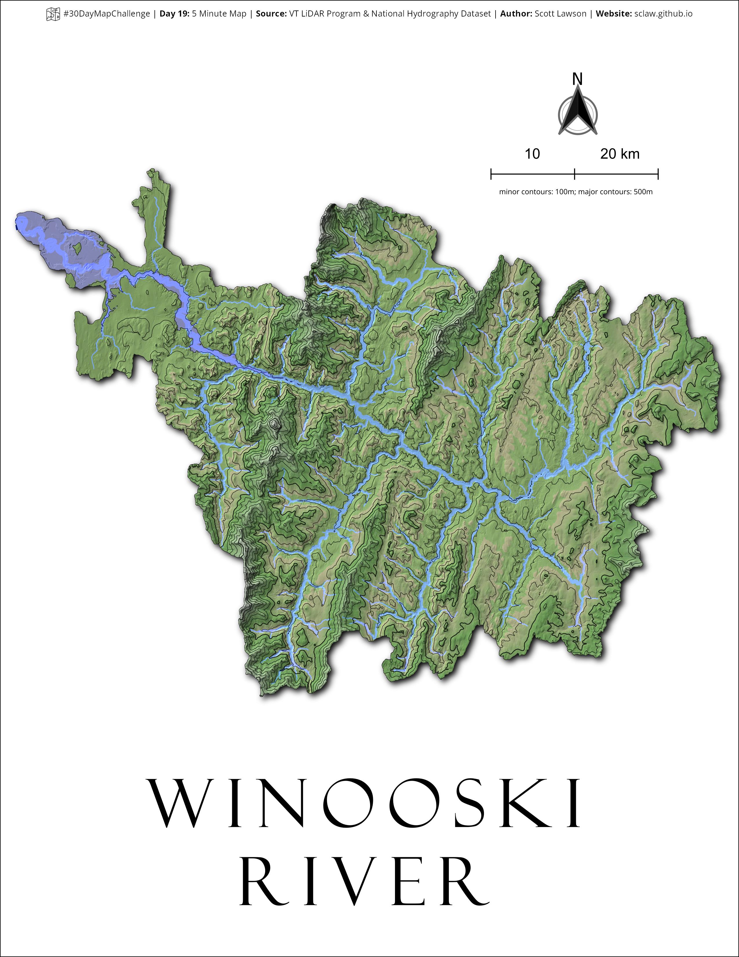
Day 19: 5 Minute Map | #30DayMapChallenge
Topo & NHD. I pull these two layers into about 70% of the QGIS files I open. (To be completely honest, this did take me 10 minutes)
30DayMapChallenge: https://30daymapchallenge.com/
VT LIDAR Program: https://vcgi.vermont.gov/data-and-programs/lidar-program
USGS NHD: https://www.usgs.gov/national-hydrography/national-hydrography-dataset
